ADRIEX
AATSR/HIRDLS near real time aerosol maps for the Adriatic region
Introduction
These pages provide near real time images of aerosol loading in the
Adriatic Sea region, derived from the AATSR (on board ENVISAT) and
HIRDLS (on board AURA) instruments.
AATSR provides column aerosol optical depth and effective radius
(derived from the ORAC retrieval scheme) at a horizontal resolution
approximately 1 x 1 km. This data is measured between 8:30 and 10 am
local time over the ADRIEX area each day, with a repeat cycle of 3
days. The AATSR nadir tracks for each day of the ADRIEX campaign are
shown here.
HIRDLS provides height resolved (at approximately 1 km resolution)
maps of aerosol extinction, with a lower altitude of 6 km. The standard
horizontal resolution is nominally 450 x 450 km, or when operating in
the narrow swath mode (matched to the width of the Adriatic) 50 x 450
km.
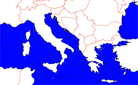
Both data sets cover the area between 5 degrees and 30 degrees
east in longitude, and 35 degrees and 45 degrees north in latitude,
i.e.
News and developments
15/7/2004
Aura spacecraft launched.
19/7/2004
Access to NRT AATSR data via the ESA rolling archive started.
23/7/2004
ADRIEX web-page prototype put on line.
20/8/2004
HiRDLS data will not be available for the ADRIEX campaign due to an
unidentified problem with the instrument which has delayed data
collection.
24/8/2004
AATSR processing is now working and data should begin to appear on
this site within the next 24 hours.
26/8/2004
Daily updates of AATSR images begun.
26/8/2004
ESA rolling NRT archive of AATSR data is not being updated. Updates will not be possible until the
archive is active again.
27/8/2004
ESA rolling archive is fixed.
29/8/2004
ESA (Kiruna) rolling archive is down again.
30/8/2004
The Kiruna archive is operational again. New maps will be placed on
the web site overnight.
The data display page has been reordered with raw radiance maps
for both visible and infra red channels appearing first, followed by
the particle type, optical depth and radius estimates. This has been
done as the retrieval of optical depth and particle radius is untested
on AATSR data and the results show some dubious features.
2/9/2004
Two important improvements have been made to the retrieval over the
past day.
Firstly, the sunglint area on the right hand side of the images (which
cause anomolously high optical depths) have been removed.
Secondly, MODIS surface albedo values are now being used to perscribe
the land surface albedo, resulting in much better retrievals over
land.
There should be a noticable improvement in the quality of the images
from the today onwards.
6/9/2004
A quick comparison between the optical depth at 0.55 microns seen by
the Venise AERONET station and the AATSR retrieval has been
done. Click here for details
Data
Simply sellect the date for which you wish to see data (YYYYMMDD):
Maintained by Gareth Thomas
| 


